Introducing SafeWalkr
What SafeWalkr does, why the safest walk to school is rarely the shortest, and how it builds a route from county sidewalk, traffic and crossing-guard data.
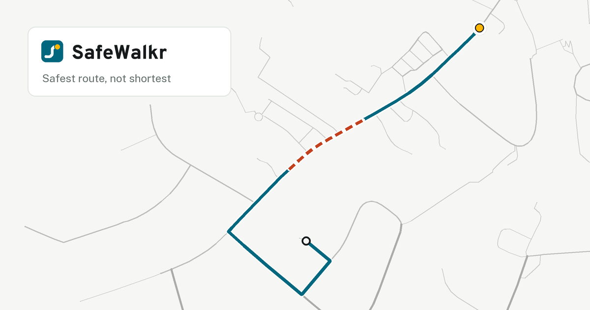
SafeWalkr finds the safest walking route from a specific home to a specific school in Fairfax County. Not the shortest route. A general mapping app plans for a car, or for an adult in a hurry. SafeWalkr plans for a nine-year-old on foot: it prefers streets with sidewalks, it avoids high-traffic roads, and it crosses main roads where a crossing guard stands.
Why a walk zone is not a safety answer
Fairfax County Public Schools draws walk zones: if you live inside one, the school expects your child to walk. But FCPS makes that decision at the boundary, and safety differs street by street. Two houses in the same zone can face very different walks. One walk follows a quiet loop with a sidewalk the whole way. The other crosses a busy through road with no sidewalk and no signal.
Nobody has a block-by-block record of whether those zones are actually walkable. SafeWalkr shows the specific streets, so a parent can judge the walk instead of a yes-or-no eligibility answer.
Live features
- Safest-route search with three preferences, all on by default: prefer sidewalks, avoid high traffic, minimize road crossings.
- Routes in all 188 FCPS attendance zones (138 elementary, 26 middle, 24 high), plus 14 walk zones with detailed building and address data.
- 160 FCPS crossing-guard posts, each mapped to its intersection. A route that must cross a main road crosses at the guard.
- Start points snap to real buildings and addresses. A pin cannot land on a lawn.
- Turn-by-turn directions with street names, an arrival time at a school-age walking pace, the number of roads the walk crosses, and a printable route sheet.
- English and Spanish.
How a route is built
What one walk costs
One walk, split into priced pieces. The colours match the map legend.
Distance
How far you walk on each stretch of street.
Sidewalk factor
County walkway inventory · 64,877 segments. A trail counts as a sidewalk. A gap means walking on the roadside.
Traffic factor
2024 average daily traffic · 26,489 counted segments. Road type fills in where no count exists.
Crossings
Each road crossed adds a cost, scaled by that road's traffic. Guards and signals lower the cost, never to zero.
The total SafeWalkr minimises
Lowest total from your door to the school door wins.
SafeWalkr builds its own walking map of the county: every street, path and trail a walker can use. Each stretch of that map carries the data that makes a route safe rather than short.
Sidewalk status comes from the county walkway inventory: 64,877 segments, matched to the walking map by location and street name. A trail or footpath counts as a sidewalk in its own right. Where the county data says nothing, OpenStreetMap's sidewalk records fill the gap. County evidence always wins.
Traffic level comes from the nearest 2024 average daily traffic count: 26,489 counted segments. Where no count exists, the road type stands in. A busy road with no count is never treated like a quiet lane.
Crossings are the part most routing tools get wrong. SafeWalkr counts every step across a road, and each one adds a safety cost. The cost rises with the road's measured traffic, or with its road type where no count exists. A turn across a road at a junction counts too, so a route cannot hide a crossing inside a turn.
A crossing guard, a pedestrian signal or a painted crosswalk lowers the cost of a crossing. It never makes the crossing free. So a route that must cross a main road is pulled toward the guard, but a guard never causes a crossing the route did not need.
The search then picks the route with the lowest total cost from your door to the school door.
What the street actually looks like
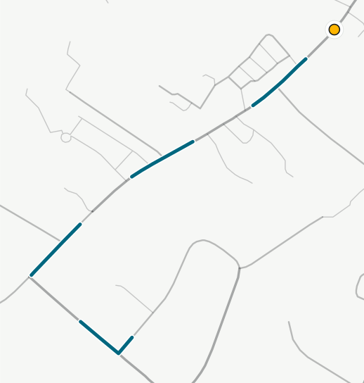
The county inventory is the best sidewalk record available, but it still has holes and errors. So a prototype part of SafeWalkr reads Street View imagery with a vision model to find which blocks really have a sidewalk. So far it has classified 2,818 panoramas. These imagery checks are not yet part of live routes. When they are, they will fill the gaps the county data leaves.
What is next
- Route every zone on imagery-verified sidewalks, not only the county inventory.
- Read the full county pedestrian network, and read it again as roads and sidewalks change.
- Publish a map of the gaps, so the county can see which crossings to fix first.
SafeWalkr is an independent project built on public Fairfax County and FCPS data. Fairfax County Public Schools does not publish, endorse or operate it. A route is guidance to plan a walk, not a safety guarantee. No route replaces an adult walking it first.
You can open the map and route a walk now. Send questions and corrections to info@safewalkr.com.